From Štrba to Čierny Váh
Bike Route
Z Važca k Čiernemu Váhu
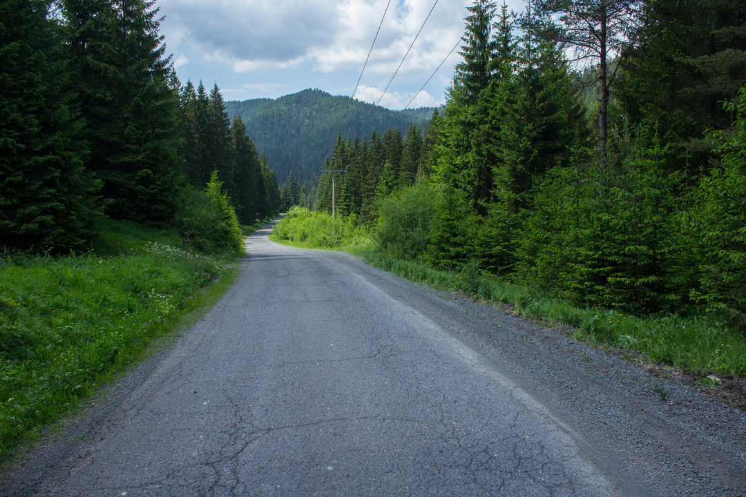
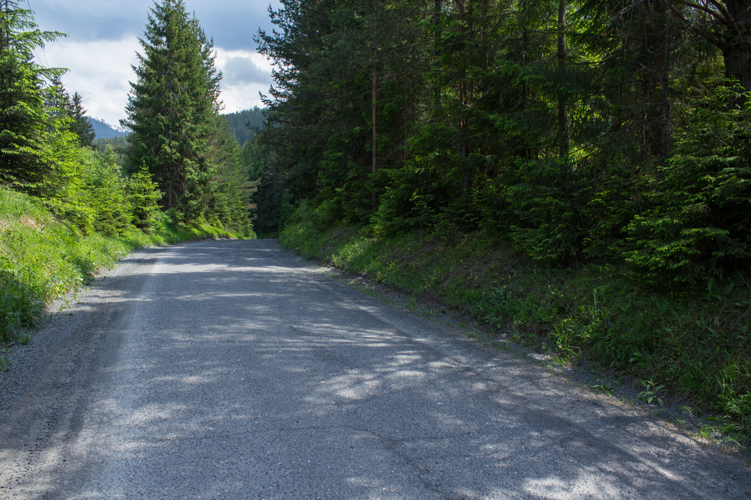
The trail runs along the side roads and forest asphalt roads, which behind the village, are immersed in the woods of the Low Tatras. The trail ascends sporadically in order to descend again. Although the ascents and descents are a bit steeper, they do not last long and are easy to handle. A downhill ride will lead you to the finish line of this trail which is located at the crossing of other trails. If you come up here, we recommend you to join the red marked trail in the direction to Kráľová Lehota and take a view of the water reservoir Čierny Váh which is really just a short walk from here.
2 h
Duration
16km
Length
Štrba
Starting point
Kriźovatka trás za preihradou Čierny Váh
End point
313m
Total ascent
341m
Total descent
Loading map...