From Liptovské Revúce to Krížna
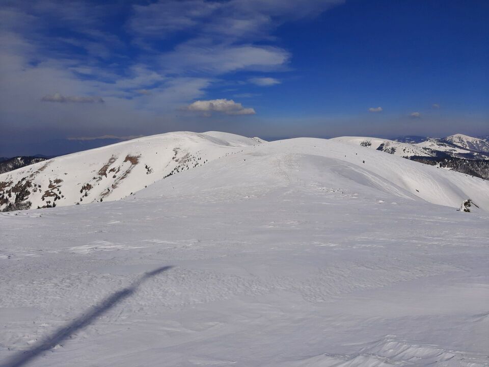
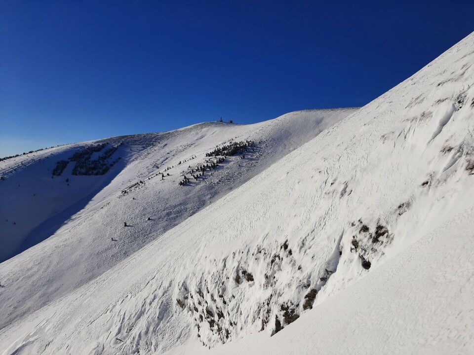
The route begins and ends in the village of Liptovské Revúce. This less demanding tour leads to one of the highest peaks of the Veľká Fatra mountain range - Krížna. The trail is less visited as more skiers begin their tour to Krížna at Rybie or Turecká. This, however, means that it is ideal for those who prefer off the beaten tracks and avoid crowds of tourists. The name of the peak (Krížna – “Cross”) is really apt as you can get to this destination from several places. What is more, it is the crossroads of several summer hiking routes and you can get there even along the cycling trail. Ski touring fans love this place mainly for its wide and smooth grassy slopes. Only a few dozen centimetres are enough for perfect skiing. However, its elevation may be a slight disadvantage because a lack of snow and mild winters can considerably shorten the winter season in comparison to the High Tatra Mountains. In addition, the route begins at the elevation of 735 metres above sea level, where the snow does not stay long. That is why we recommend watching snow and also avalanche forecasts. Even though these mountains are low, there is an avalanche danger, especially in the steepest draws around the peak of Krížna. Unfortunately, there were some fatal avalanche accidents in the past. Since the route is pretty long, skiers need to be in really good shape.
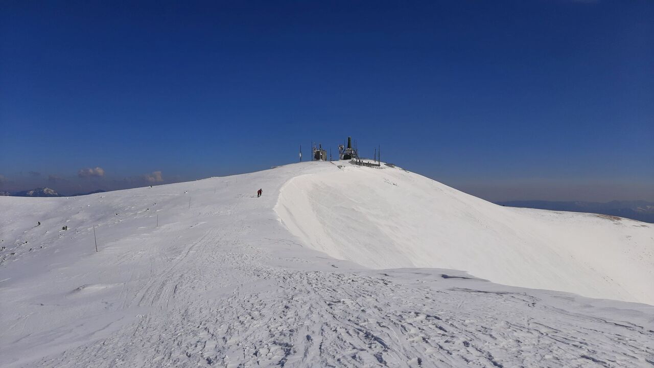
Ascent: The route begins with moderate ascent through the valley called Suchá Dolina, past the lodge named Hajabačka. The trail then narrows gradually. Above the timberline, it leads towards the chalet Pod Ostredkom. After Dlhý Grúň, the route leads along the red marked ridge trail up to the summit of Krížna. This last section can be very windy and sometimes you can even see the grass. We, therefore, strongly recommend taking some spare windproof clothes. The peak itself is not open to the public as there is a fenced facility used by the Ministry of Defence. It, however, provides shelter from the wind.
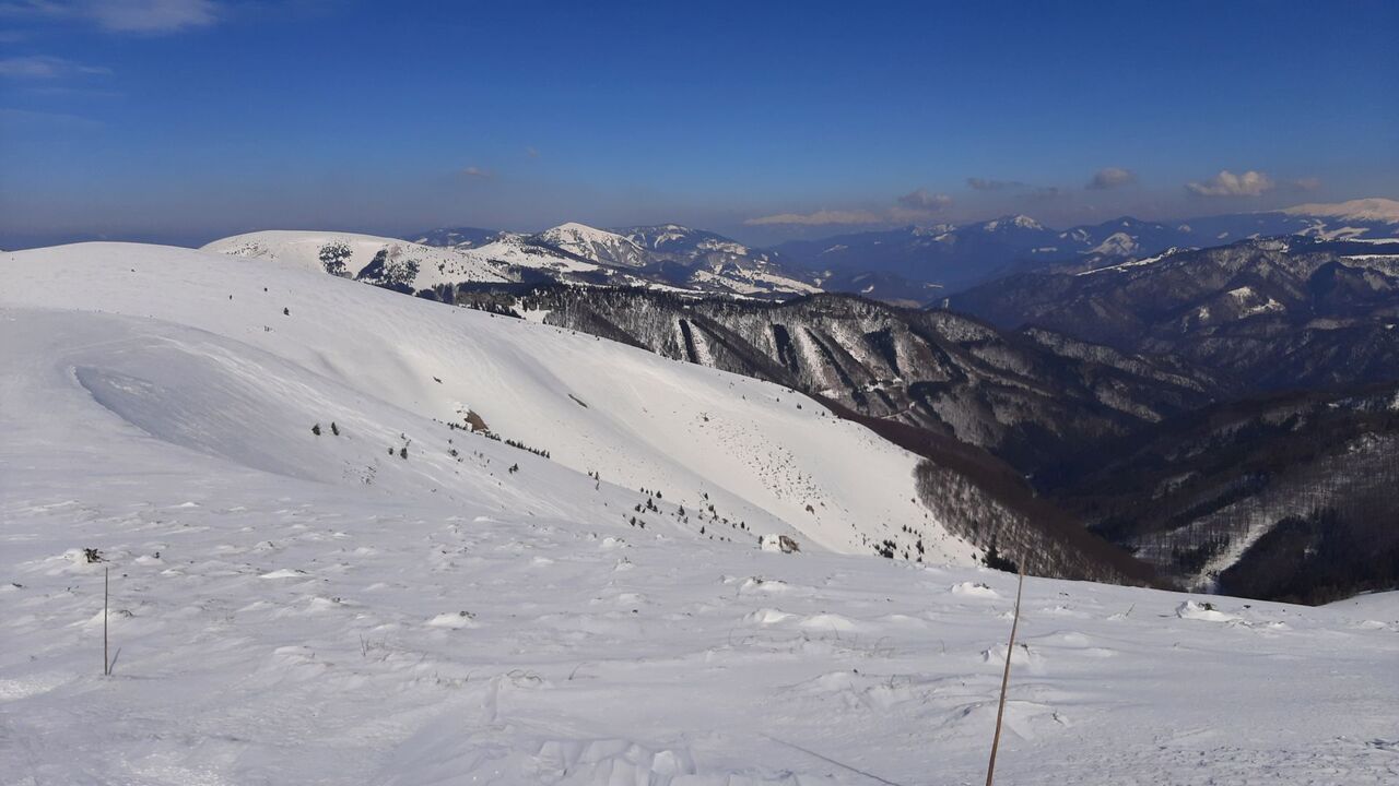
Descetn: When it comes to descents, there are several options. The first one copies the ascent route across Dlhý Grúň. The second option means a descent straight from the summit down to Suchá Dolina, which is more appealing as it offers wide steep slopes. However, you will need to watch out for an avalanche danger (follow avalanche forecasts at www.hzs.sk).
6 h
Duration
16km
Length
Liptovské Revúce (Výšné) ( 735 m n.m.)
Starting point
Krížna (1574 m n.m.)
End point
877m
Total ascent
877m
Total descent