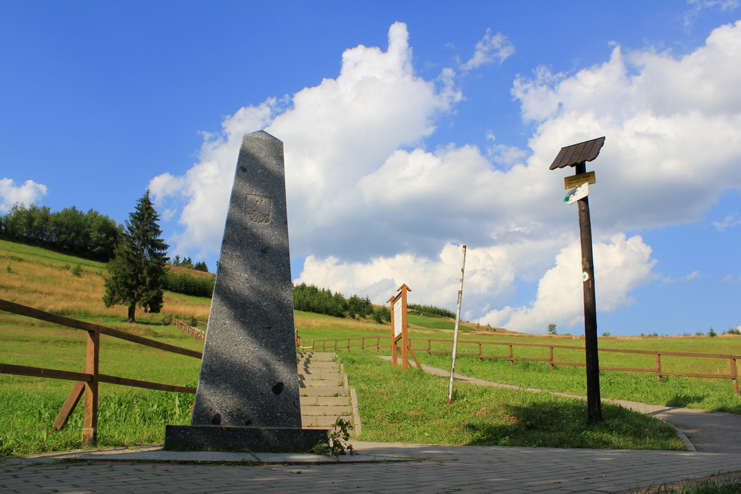
Through three European states
The route is suitable for families with children but you have to be prepared for a steeper terrain. Marking: green touristic sing Čierne, zastávka – Nad Čiernym , the blue touristic sign is not actual after the highway was built, yellow (through Hrčava, ČR) and green (through Javorzynka,PL)
⦁ starting point: church at Vyšný koniec in Čierne parking at the store)
⦁ to the roadside station and by green touristic sign to the left- an asphalt road to Valy bridge
⦁ after 0,5 km join the yellow touristic sign from Hrčava (1 km to Trojmedzie)
⦁ uphill to polish Szkawrana, we stay on the left at the crossroad (through green touristic sign) towards Jaworzynka Lupienie
⦁ on the crossroads go to Hrčava by yellow sign – church, local beer
⦁ steep downhill by yellow sign to the crossroads- take the same route back(green)
8km
Length
Kostol sv. Petra a Pavla na Vyšnom konci v Čiernom
Starting point
Kostol sv. Petra a Pavla na Vyšnom konci v Čiernom
End point
230m
Total ascent
230m
Total descent